Special Projects
Services for Publishers – Atlases and Maps
While the world turns to the internet and relies on digital data for its needs there is still some comfort in the printed page. A good novel, a coffee table book or an atlas all provide that tactile feel and sense of closeness that tends to elude one in the digital domain.

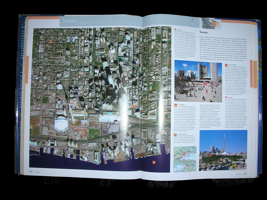
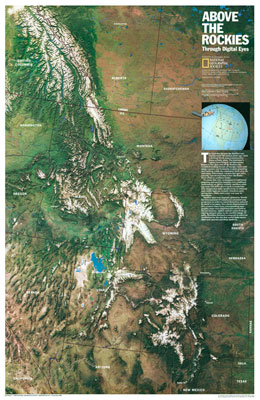
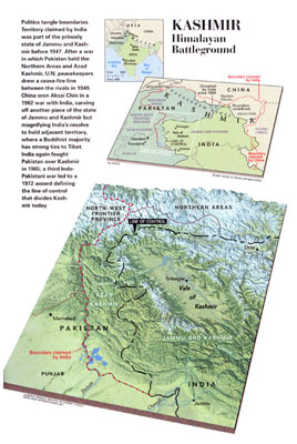
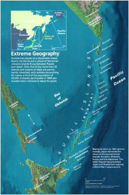
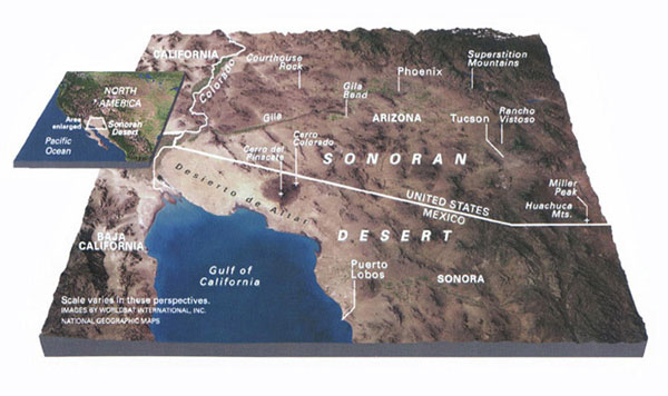
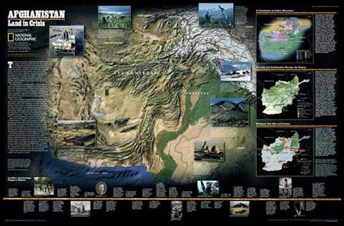
Although WorldSat is a major provider of satellite imagery to the digital environment we are also a significant provider of data for the printed medium. In fact, since 1986, our history is based on the production of satellite imagery, both local and global for the world of print be it a book, a mural, a 70 foot globe or an atlas.

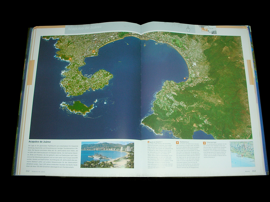
If your needs require map-accurate satellite imagery viewed from overhead or any perspective for anywhere in the world, at any resolution from global imagesto local city views, with or without added cartography, WorldSat is your choice.
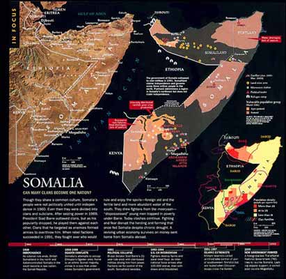
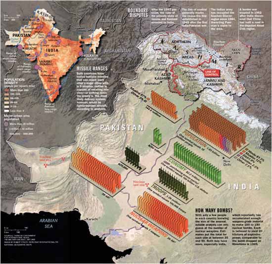
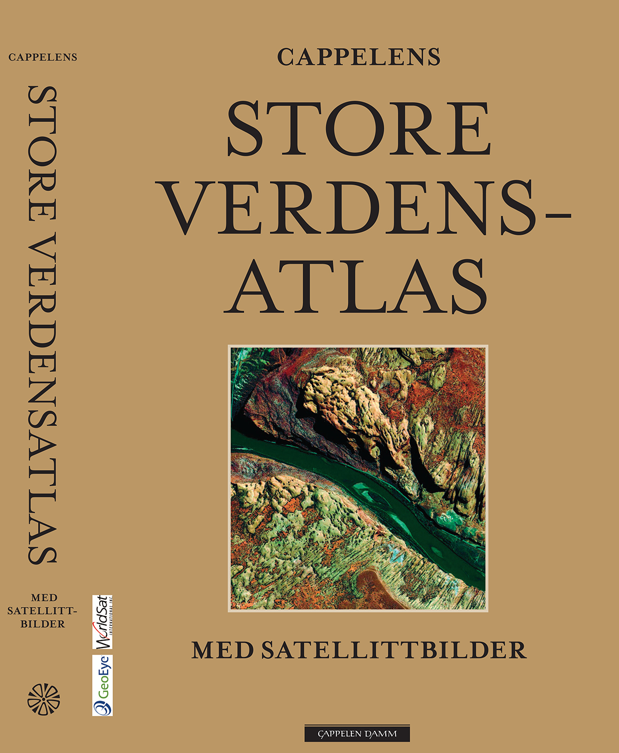
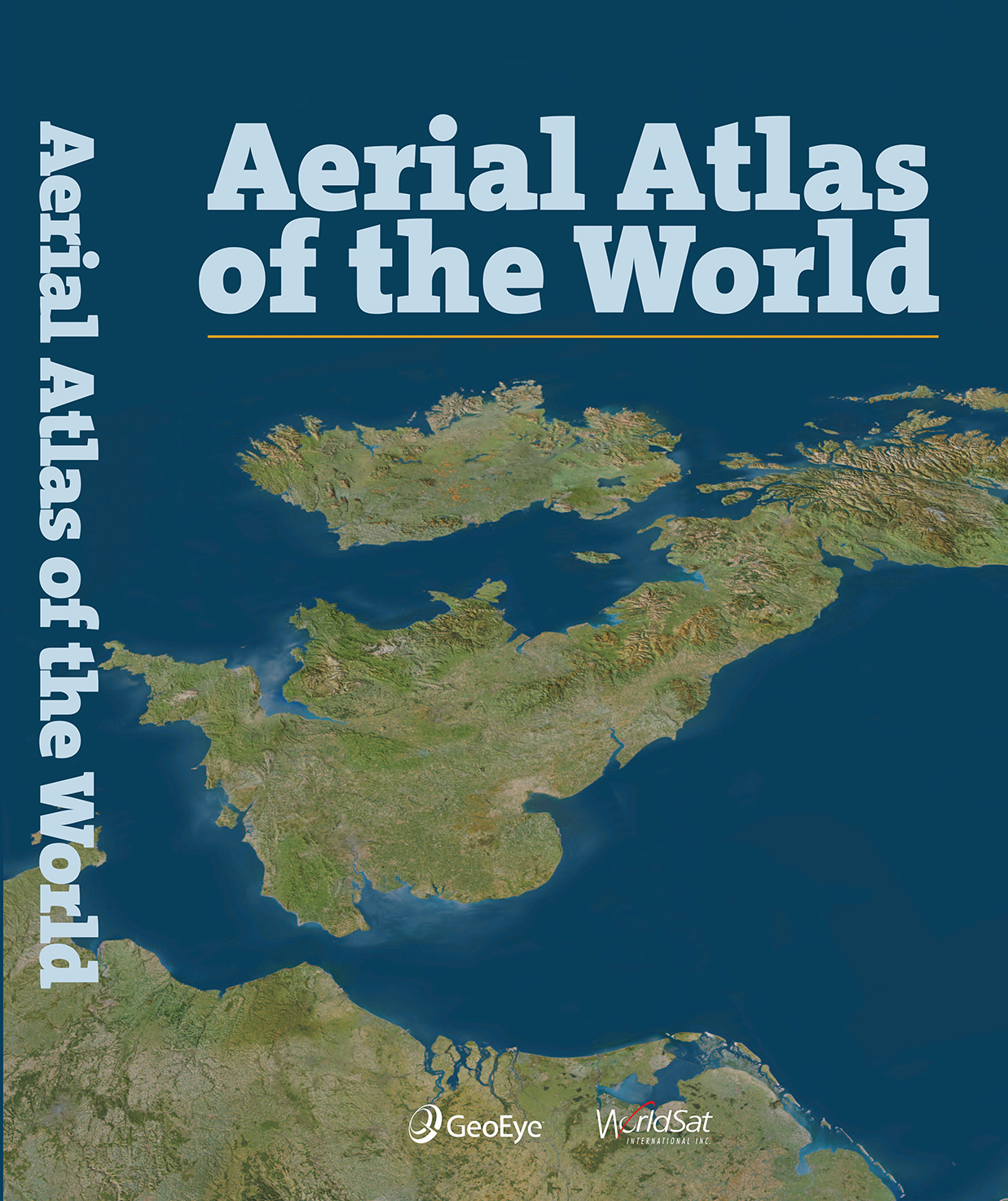
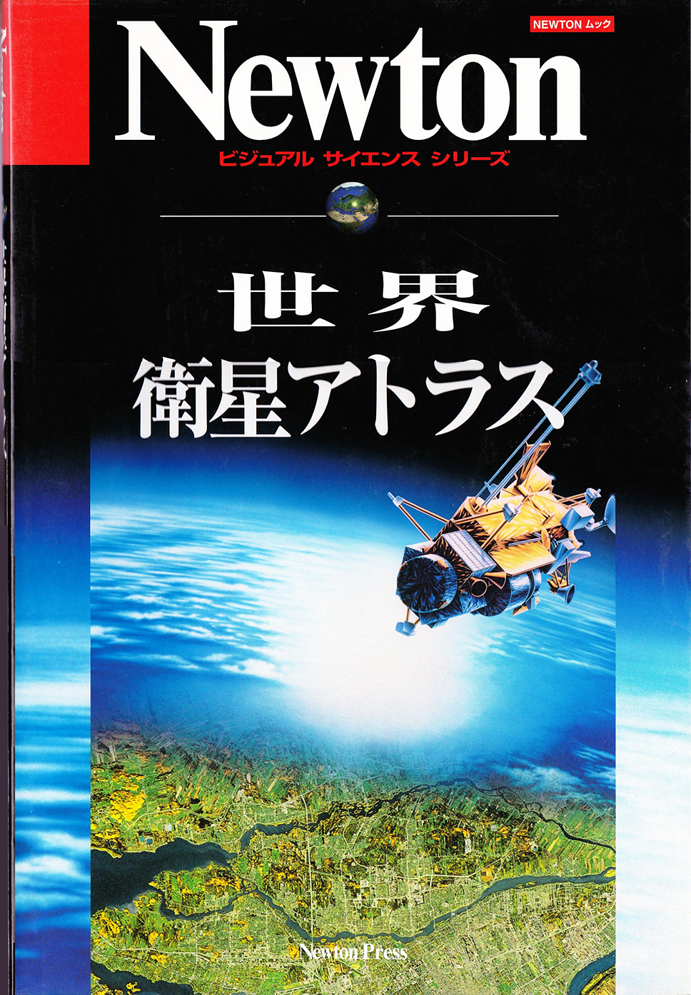
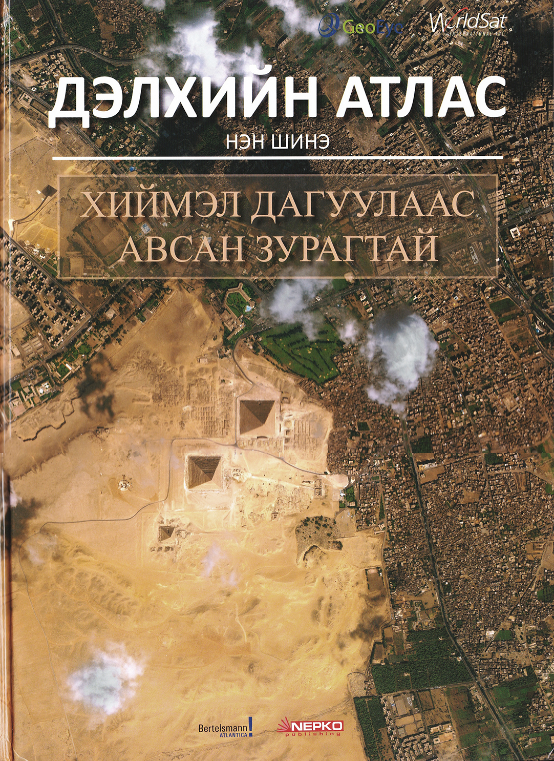
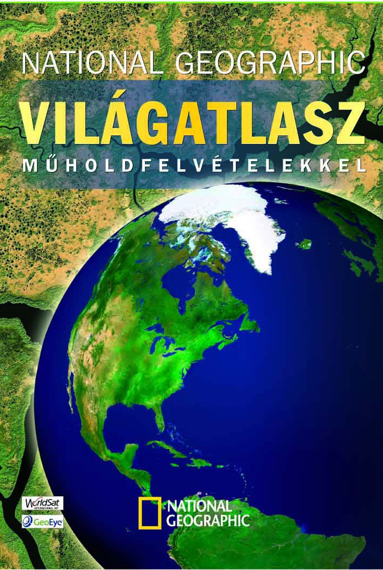
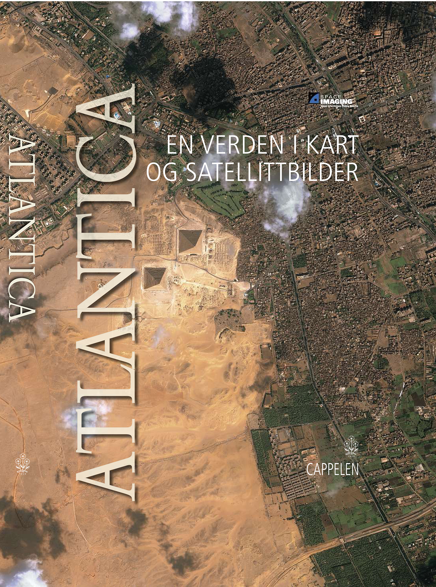
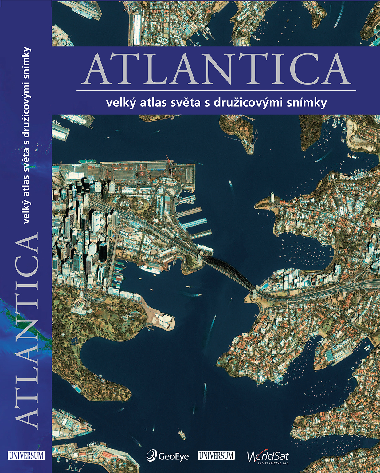
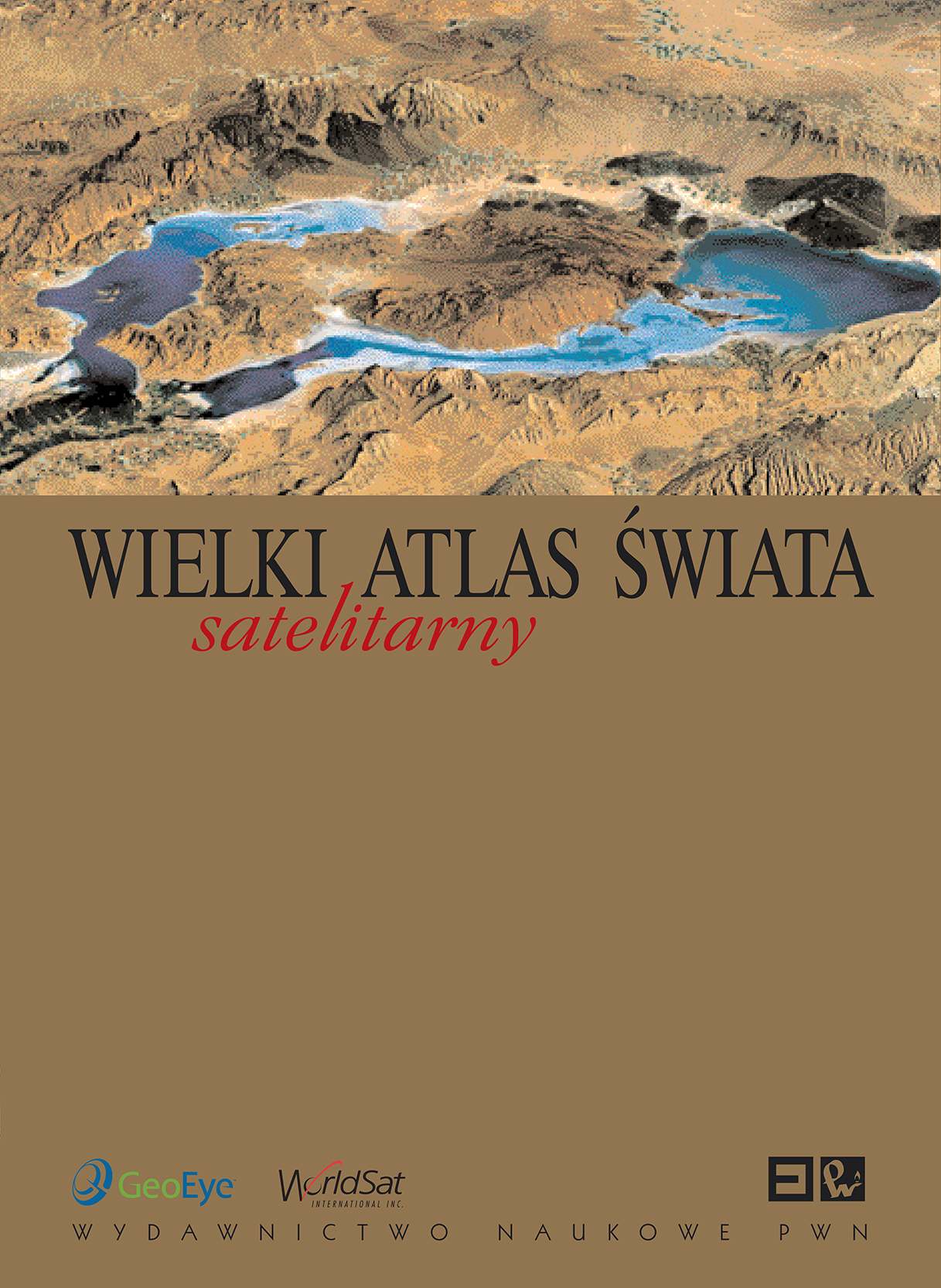
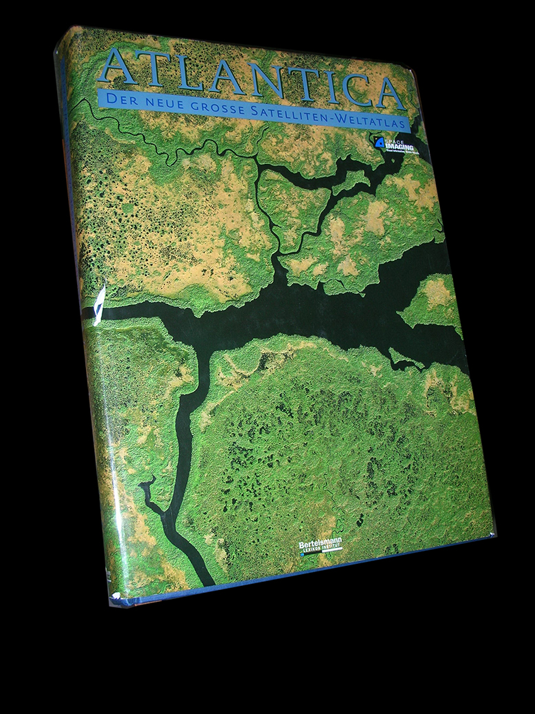
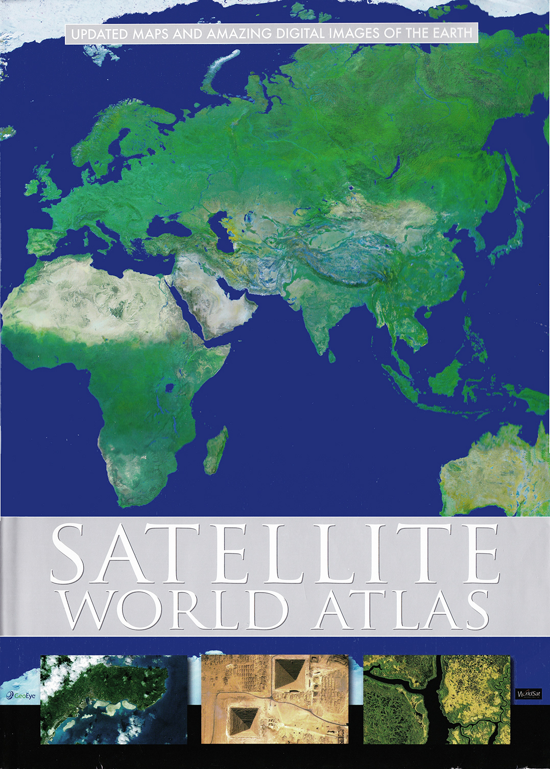
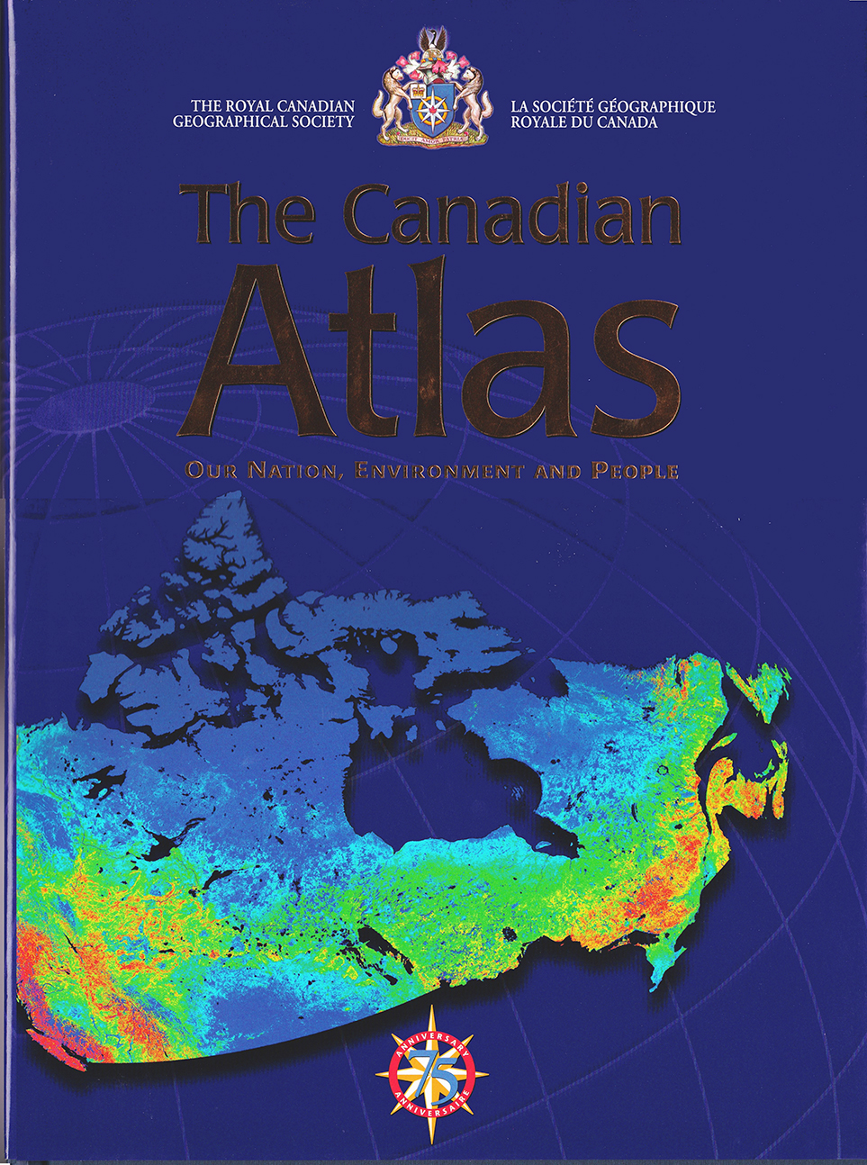
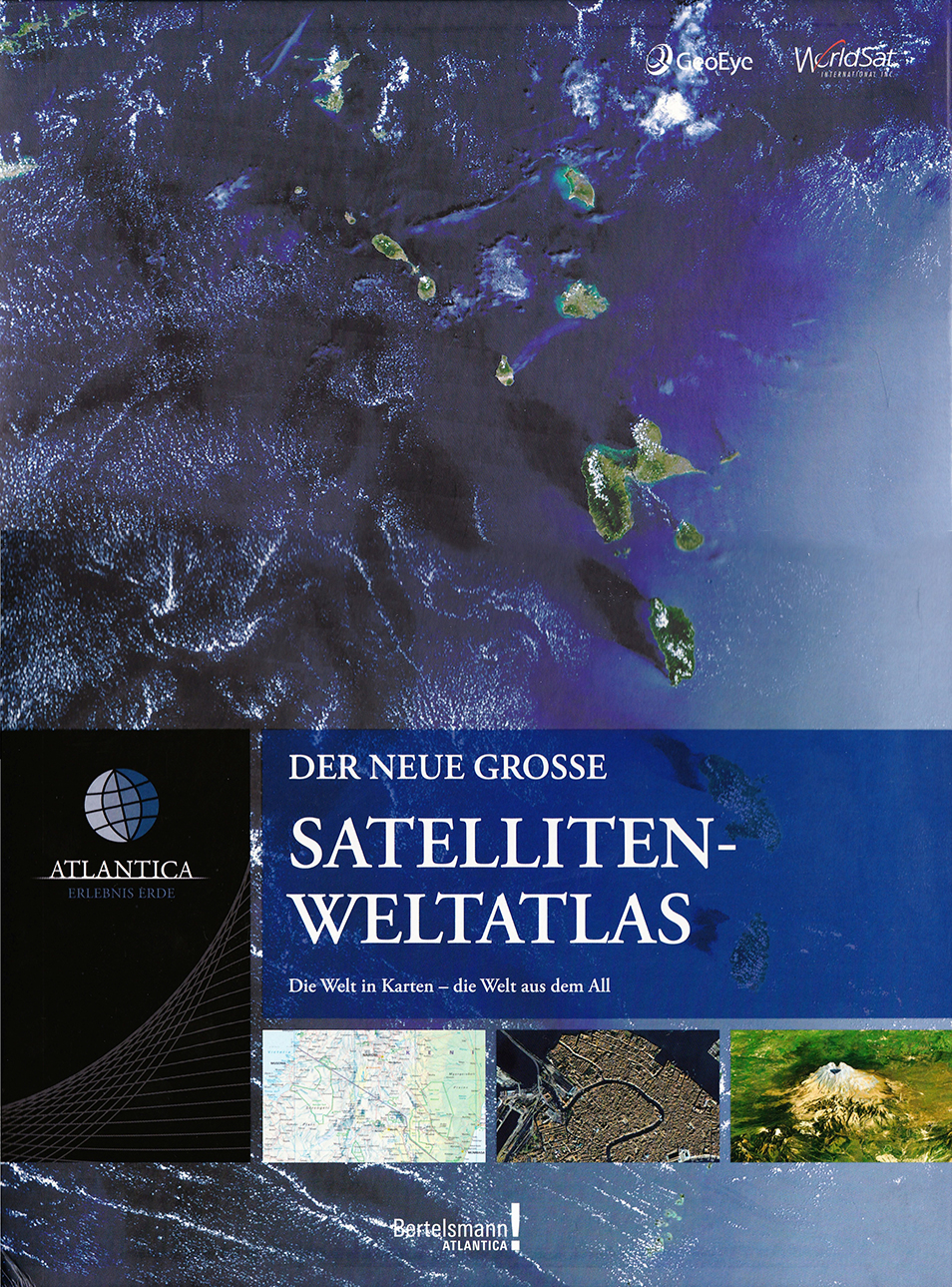
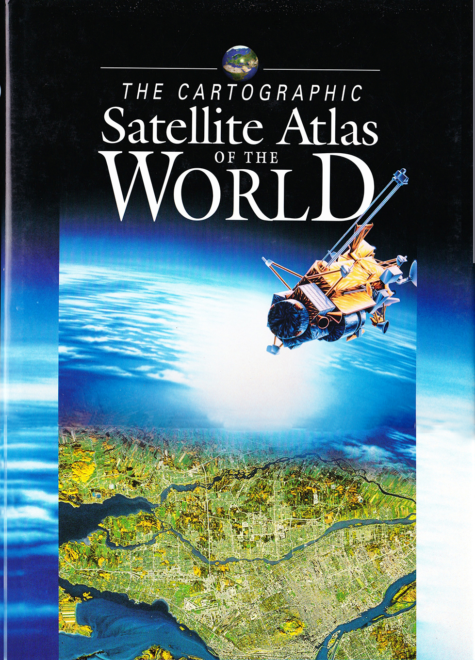
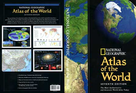
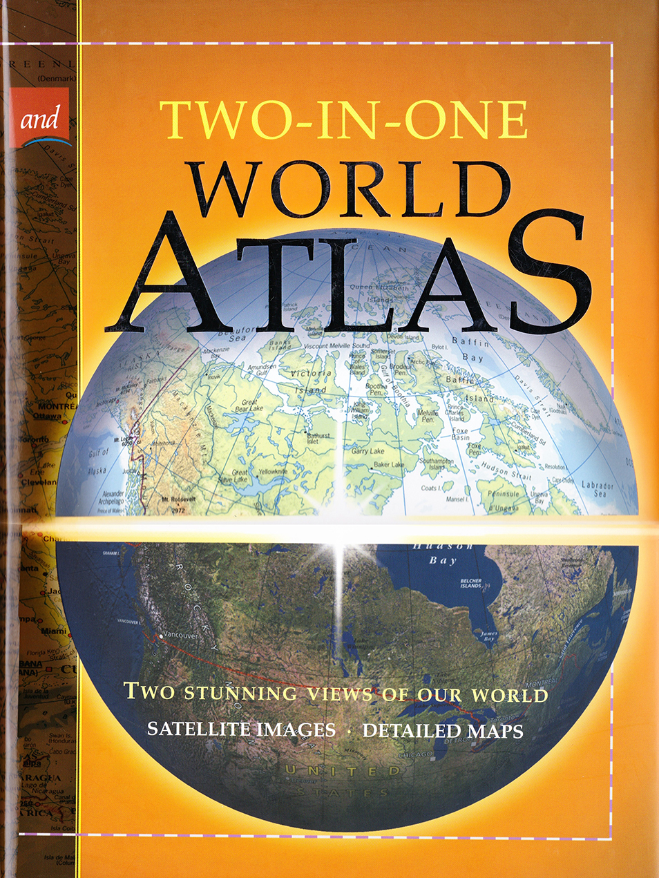
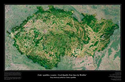
WorldSat produced the first true satellite atlas of the world in 1996 and has gone on to partner in the creation of over twenty atlas and atlas related products, in 17 or more languages, over the past 20 years.
If your publication or project requires that extra touch to stand out in the milieu of sameness please contact us to discuss the possibilities.